What is Devanahalli? Meaning, History and Why It Matters
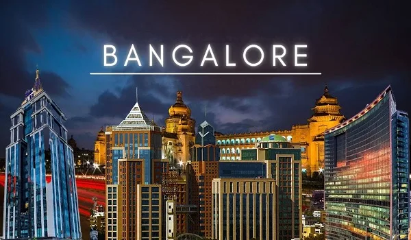
Devanahalli is a town and taluk headquarters on the northern edge of Bangalore. It stands on NH-44. The name means the village of Devana. A fort of 1501 marks its old core.
The town matters for two reasons. One is history. Tipu Sultan was born inside that fort in 1751. The other is the airport. Kempegowda International Airport opened in 2008 on land just outside the town.
Devanahalli falls in Bangalore district. It lies outside BBMP limits. Planning here runs through BIAAPA. That fact shapes approvals, layouts and land use across the whole corridor. It still does today.
What the Name Devanahalli Means
The halli suffix
Halli is Kannada for village. Hundreds of settlements around Bangalore carry it. Devanahalli follows the same pattern. The first part points to a person. Read plainly, the name means the village of Devana.
The founding story
Local accounts tie the settlement to a chieftain's family. The written record is thin. Versions differ. What is not disputed is the age. People have lived on this ground for over five centuries.
The old economy
Grapes and silk shaped the taluk for generations. Vineyards ran across this land. Sericulture supported many households. That farming past left low-density holdings. Developers now build on exactly those parcels.
The Fort of 1501
Devanahalli Fort was built in 1501. It is the oldest structure in the town. Stone ramparts and bastions still stand. The fort is a protected monument. Inside it are old temples and a lived-in quarter.
What stands today
The walls run in an oval around the old core. Visitors can walk the ramparts. Temples inside remain in use. The fort is about 2.5 km from the Shettigere belt. It is a short detour off NH-44.
Tipu Sultan Was Born Here in 1751
Tipu Sultan was born inside Devanahalli Fort in 1751. He became the ruler of Mysore. His father was Hyder Ali. Hyder Ali himself was born at Budikote in Kolar, not here. The two are often muddled.
That single fact gives the town a place in the history books. School groups still visit. A memorial marks the birth site. For a town now defined by an airport, it is a useful reminder. Devanahalli was significant long before 2008.
The fort also holds older temples. Some predate the Sultan era. Devanahalli was a frontier post between competing powers. Control changed hands more than once. The walls carry all of that.
Which Authority Governs Devanahalli
Devanahalli is in Bangalore district. It is not inside BBMP limits. The city corporation stops well short of the town. Planning here runs through BIAAPA. That is the Bengaluru International Airport Area Planning Authority.
Why the planning authority matters
BIAAPA writes the master plan for the airport region. It sets land use, road widths and layout rules. A buyer should check which authority sanctioned a plan. BBMP, BDA and BIAAPA are not interchangeable. The stamp on the drawing matters.
| Item | Detail |
| District | Bangalore |
| Local planning authority | BIAAPA |
| Highway spine | NH-44 (Bellary Road) |
| Fort built | 1501 |
| Born at the fort | Tipu Sultan, 1751 |
| Airport opened | 2008 |
| Rail | Devanahalli railway station |
2008: The Airport Changed Everything
Kempegowda International Airport opened in 2008. It was built on land just outside the town. A farming taluk became the gateway to a major air hub. Land values changed first. Everything else followed.
The airport is now India's third-busiest. Terminal 2 is built and ramping. It adds 25 million passengers a year to the existing 12 million. Total capacity moves past 37 million. That scale pulls jobs north.
Hotels came. Then cargo and logistics. Then aerospace and hardware work on KIADB land. Housing followed the jobs, as it usually does. The old grape and silk economy did not vanish, but it stopped setting the direction.
Devanahalli on the Map Today
Devanahalli is about 40 km north of central Bangalore. NH-44 is the spine. Nandi Hills is the nearest hill station. The town centre lies about 2 km from the Shettigere belt. Distances below run from that belt.
| Landmark | Distance from the Shettigere–Devanahalli belt |
| Devanahalli town centre | 2 km |
| Devanahalli Fort | 2.5 km |
| Devanahalli railway station | 3 km |
| Devanahalli Business Park | 4 km |
| Kempegowda International Airport | 5 km, about 10 minutes |
| KIADB Aerospace SEZ | 6 km |
| BIAL Cargo Terminal | 10 km |
| Nandi Hills | 25 km |
| Hebbal flyover | 28 km |
| MG Road | 38 km |
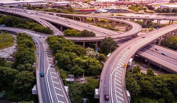
Read those numbers as road distance, not straight-line. NH-44 carries most of the movement. The airport run is about 10 minutes off-peak. The city run to Hebbal takes far longer. Traffic, not distance, sets the clock.
Why Devanahalli Matters Now
Devanahalli is no longer only a fort town. It is a working growth node. An airport, an SEZ and a planned metro line anchor it. The Blue Line will run to the terminal. No station is open near the town yet.
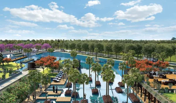
Housing has followed. Township-scale projects now line the corridor near the airport. Milan at Godrej MSR City is one such address at Shettigere. The town came first. It is an example of the pattern, not the reason for it.
This is a general guide to the area, not an offer. Milan at Godrej MSR City, Phase 3 of the Godrej MSR City township, is pre-launch with RERA status Applied. Verify every project claim at rera.karnataka.gov.in before you pay anything.
Frequently Asked Questions
1. What does the name Devanahalli mean?
Halli is Kannada for village. The name reads as the village of Devana, after a chieftain tied to the settlement's early history. The town grew around a fort built in 1501.
2. Who was born at Devanahalli Fort?
Tipu Sultan, the ruler of Mysore, was born inside the fort in 1751. His father Hyder Ali was not born here — Hyder Ali's birthplace is Budikote in Kolar district. The two are often confused.
3. Is Devanahalli part of Bangalore city?
It is in Bangalore district but outside BBMP limits. The city corporation stops well short of the town. Local planning runs through BIAAPA, the Bengaluru International Airport Area Planning Authority.
4. Why did Devanahalli grow so fast?
Kempegowda International Airport opened in 2008 on land just outside the town. That single decision brought hotels, cargo, aerospace and hardware work to the belt. Housing followed the jobs.
5. How far is Devanahalli from the airport?
The Shettigere belt is about 5 km from the terminal, roughly 10 minutes via NH-44. The old town centre is about 2 km from that belt. Both are close by any city standard.
6. Does Devanahalli have a metro station?
Not today. The Namma Metro Blue Line is planned from Central Silk Board through KR Puram to the airport, 58.19 km across Phase 2A and 2B. No station near Devanahalli is open yet.
Explore Milan at Godrej MSR City