North Bangalore: The Next Real Estate Hotspot

North Bangalore means the belt from Hebbal to Devanahalli. NH-44 is its spine. The airport anchors the top end. Roughly 28 km separate the two ends of it.
It draws attention for three reasons. The infrastructure is real and largely built. A gazetted BIAAPA master plan governs the land. Employment has moved north with the airport.
This guide sets out what is actually in place. It also names what is only planned. The gap between those two lists is where most buyer mistakes happen.
The Hebbal to Devanahalli Belt
The belt is linear, not circular. It runs north from Hebbal flyover to the airport. Everything of consequence hangs off one road. That is both its strength and its weakness.
The nodes along it
Hebbal anchors the southern end. Yelahanka, Jakkur and Hennur sit in the middle band. Further north come Bagalur, Shettigere and Devanahalli. Each node has a different age and a different price band.
| Position on the belt | Character | Distance from Shettigere |
| Devanahalli and Shettigere | Airport belt, newest supply | 0 to 5 km |
| Bagalur and the SEZ side | Industrial and aerospace | About 6 km |
| Yelahanka and Jakkur | Established, mid-belt | Mid-corridor |
| Hebbal | City edge, mature | 28 km |
| MG Road and the core | Central Bangalore | 38 km |
Price falls as you move north. So does maturity. The trade a buyer makes on this belt is always the same one. You pay less and wait longer.
NH-44 as the Spine
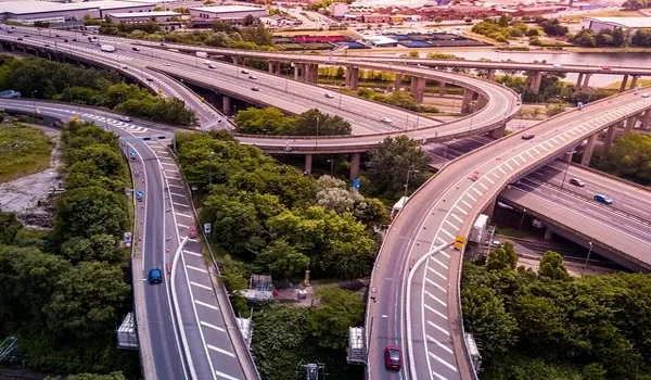
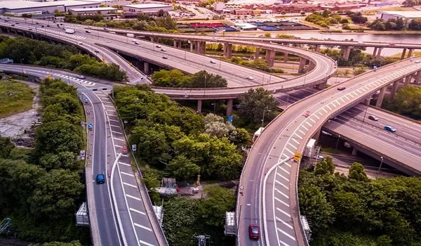
NH-44 is the Bellary Road, formerly NH-7. It is India's longest national highway. Locally it is the airport road, and it carries almost everything that moves in this belt.
Why one road matters so much
A single high-grade road makes travel times predictable. It also concentrates risk. Any blockage on NH-44 affects the whole corridor at once. Parallel routes exist but carry far less capacity.
Drive times reflect that. Shettigere to the airport runs about 10 minutes off-peak. Shettigere to Hebbal is 28 km and takes far longer. Distance is not the constraint here. Traffic is.
Widening and service roads have helped. Junction load is still the pinch point. Peak flows toward the airport and the city do not overlap neatly. Off-peak travel here is genuinely quick.
The Airport at the Top End
Kempegowda International Airport opened in 2008 and reset the corridor. It is now India's third-busiest. Terminal 2 is built and ramping. It adds 25 million passengers a year to the existing 12 million.
Total capacity now runs past 37 million. Airports of that size behave like cities. They generate cargo, hospitality, maintenance and office demand around them. The land near them stops being farmland.
The industrial layer
The KIADB Aerospace SEZ is about 6 km from the Shettigere belt. Devanahalli Business Park is about 4 km. The BIAL Cargo Terminal is about 10 km. Those three give the belt a jobs base of its own.
BIAAPA and the Gazetted Master Plan
Planning here is not run by BBMP or BDA. It runs through BIAAPA, the Bengaluru International Airport Area Planning Authority. A gazetted master plan governs land use across the region.
Why a gazetted plan helps a buyer
A notified plan tells you what the land beside you may become. Residential, industrial and green zones are marked. Road alignments are fixed on paper. That reduces one of the biggest risks in a young corridor.
It also sets the approval trail. Check which authority sanctioned a project's plan. BIAAPA approval is the correct stamp in this belt. A BBMP or BDA reference here should prompt questions.
The Planned Blue Line Metro
Namma Metro's Blue Line is the corridor's next big infrastructure item. It runs from Central Silk Board through KR Puram to Kempegowda International Airport. Phases 2A and 2B together cover 58.19 km.
Two things must be said clearly. The line is planned and under execution in parts. No station near Devanahalli is open today. Anyone buying on metro access is buying a future, not a service.
| Infrastructure | Status today |
| NH-44 (Bellary Road) | Operating |
| Kempegowda International Airport | Operating, Terminal 2 ramping |
| BIAL Cargo Terminal | Operating |
| KIADB Aerospace SEZ | Operating and expanding |
| Devanahalli Business Park | Partly developed, phased |
| Namma Metro Blue Line | Planned, no station open near Devanahalli |
| Aerospace Business Park, Financial City | Proposed only |
How to Read the Hotspot Claim
Corridor marketing usually leans on growth percentages. Treat those with care. Reliable long-run appreciation data for a young belt is scarce. Most quoted figures cannot be sourced.
The defensible case is simpler. Real infrastructure is already operating. A gazetted plan governs the land. A jobs base exists nearby. Supply is still expanding. That combination supports demand without needing a number attached.
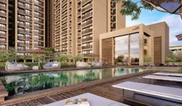
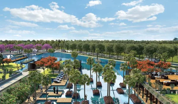
Township-scale projects have clustered along the belt as a result, Milan at Godrej MSR City at Shettigere among them. The infrastructure came first. Housing supply is the response to it.
Questions to ask instead
Ask what is operating today. Ask which authority sanctioned the plan. Ask what the master plan marks on the land next door. Those answers hold up. Percentage forecasts rarely do.
This is a general guide to the area, not an offer. Milan at Godrej MSR City, Phase 3 of the Godrej MSR City township, is pre-launch with RERA status Applied. Verify every project claim at rera.karnataka.gov.in before you pay anything.
Frequently Asked Questions
1. What counts as North Bangalore?
In property terms it is the belt from Hebbal flyover north to Devanahalli and the airport, strung along NH-44. Yelahanka, Jakkur, Bagalur and Shettigere are the nodes in between. Hebbal to Shettigere is about 28 km.
2. Why is this belt called a hotspot?
Because the infrastructure is largely built rather than promised. A working international airport, NH-44, a cargo terminal and the KIADB Aerospace SEZ all operate here. A gazetted BIAAPA master plan governs the land.
3. Which authority approves projects here?
BIAAPA, the Bengaluru International Airport Area Planning Authority, not BBMP or BDA. Check the sanctioning authority on any plan you are shown. The wrong stamp is a reason to ask questions.
4. Is the metro running to Devanahalli?
No. The Namma Metro Blue Line is planned from Central Silk Board through KR Puram to the airport, 58.19 km across Phases 2A and 2B. No station near Devanahalli is open today.
5. How much will property appreciate here?
No credible figure can be given, and none is published on this page. Percentage and CAGR claims for young corridors are usually unsourced. Judge the belt on operating infrastructure and the jobs base.
6. What is the main risk on this corridor?
Dependence on a single spine. Almost everything hangs off NH-44, so congestion on it affects the whole belt. Phasing risk on announced projects is the other one to watch.
Explore Milan at Godrej MSR City