Namma Metro Blue Line: Route and Stations
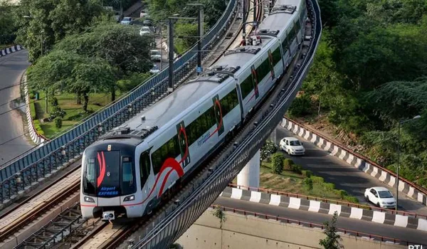
The Namma Metro Blue Line runs from Central Silk Board to Kempegowda International Airport. It covers about 58.19 km in total. Two phases build it. Phase 2A ends at KR Puram. Phase 2B carries on north to the airport.
The line holds 30 stations across both stretches. Phase 2A has 13. Phase 2B has 17. The route hugs the eastern Outer Ring Road first. It then turns north and runs parallel to NH-44.
No part of the Blue Line is open today. Nothing runs near Devanahalli. Announced dates have slipped before on this corridor. Treat every projected opening as provisional until trains actually run.
The Two Phases of the Blue Line
The Blue Line is built in two packages. They were sanctioned and tendered separately. They will also open separately. Phase 2A is the shorter leg. Phase 2B is the longer one.
| Phase | Stretch | Length | Stations |
| Phase 2A | Central Silk Board to KR Puram | About 19.75 km | 13 |
| Phase 2B | KR Puram to Kempegowda International Airport | About 38.44 km | 17 |
| Combined | Central Silk Board to the airport | About 58.19 km | 30 |
Phase 2B is nearly twice the length of 2A. It also carries the airport leg. That matters for anyone reading opening dates. The two phases will not finish together.
Stations and the Areas They Serve
Phase 2A along the eastern ORR
This leg tracks the eastern arc of the Outer Ring Road. It threads the tech belt between Silk Board and KR Puram. Stops serve HSR Layout, Bellandur, Marathahalli and Mahadevapura. Thirteen stations sit on this stretch.
Phase 2B from KR Puram to Hebbal
North of KR Puram the line swings west and north. It runs through the Kasturi Nagar, Horamavu and Nagawara belt. Hebbal is the pivot on this stretch. From there the alignment turns for the airport.
Hebbal north to the airport
Past Hebbal the line follows the NH-44 axis. It runs through Jakkur, Yelahanka, Bettahalasur and Doddajala. The last stops serve the airport itself. This is the section that changes northern access.
| Stretch | Areas the alignment runs through |
| Silk Board to KR Puram | HSR Layout, Bellandur, Marathahalli, Mahadevapura |
| KR Puram to Hebbal | Kasturi Nagar, Horamavu, Nagawara, Hebbal |
| Hebbal to the airport | Jakkur, Yelahanka, Bettahalasur, Doddajala |
Final station names and exact locations are set by BMRCL. Some have been revised during tendering. Read the alignment as a corridor, not a fixed list. The areas served are the stable part.
What the Alignment Follows on the Ground
The eastern ORR leg
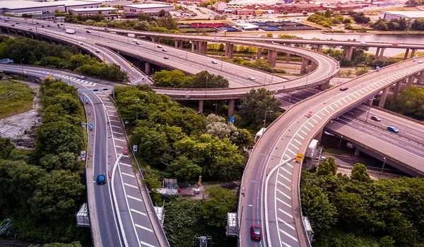
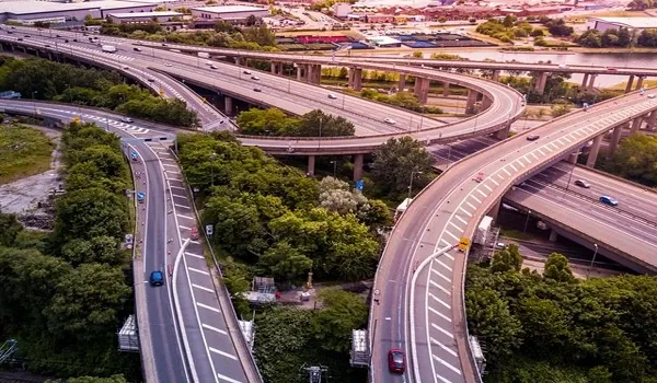
The first leg is an elevated line above the Outer Ring Road. That road carries some of the heaviest office traffic in the city. Building over live carriageways is slow work. It is a large part of why 2A has taken years.
The NH-44 leg
North of Hebbal the line runs beside NH-44 (Bellary Road). The highway is wide and largely open. Land acquisition here is simpler than in the tech belt. Construction on this stretch has more room to move.
The two legs are very different engineering problems. One is dense and constrained. The other is open highway. Progress rates on them will not match.
Why KR Puram and Hebbal Matter
KR Puram as the junction
KR Puram is where the two phases meet. It is also where the Blue Line meets the operating Purple Line. Without that interchange, the airport leg has no city network behind it. The junction carries the whole line's usefulness.
Hebbal as the northern hinge
Hebbal is the point where the corridor turns north. It is a major road node already. It also anchors the Manyata belt. A metro stop here links north Bengaluru offices to the airport leg.
Judge the Blue Line by these two nodes. A line without interchanges is a shuttle. A line with them is a network.
What Is Not Yet True Near Devanahalli
There is no operating metro station near Devanahalli today. The Blue Line is under construction, not in service. Marketing that describes metro access here as present is wrong. It describes a plan.
The corridor's northern end is aimed at the airport, not at Devanahalli town. Even when it opens, the belt around the airport will use a short road leg first. Then metro onward into the city.
That is still a real improvement. It turns a long drive into a park-and-ride hop. But it is a future state. Buy on what exists, and treat rail as upside.
Airport Access Today Versus After the Line
Road carries the whole load right now. The comparison below sets out what changes when trains run.
| Mode | Today | After the Blue Line opens |
| Rail to the airport | None | Direct metro from the city and the eastern ORR belt |
| Road on NH-44 | The only fast link | Still the fastest for short local trips |
| City interchange | Not available | KR Puram to the Purple Line |
| North Bengaluru offices | Road only | Hebbal stop on the same corridor |
Notice what does not change. Short trips inside the Devanahalli belt stay road trips. Metro shifts the long city leg, not the local one.
What the Line Changes for North Bengaluru
The Blue Line's value for the north is simple. It gives the airport belt a rail spine into the city. That reduces the penalty of distance. It does not remove it.
Buyers along NH-44 should read the line as a medium-term shift. Projects in the belt, including Milan at Godrej MSR City, will benefit when it opens. None of them depend on it today. Road access already works here.
Ask any seller one question. Is the station open, or is it announced? The answer separates a fact from a forecast.
Metro timelines are projections, not commitments. Verify current status with BMRCL before any decision that rests on an opening date. Projects in the Devanahalli belt should also be checked at rera.karnataka.gov.in.
Frequently Asked Questions
1. Where does the Namma Metro Blue Line run?
It runs from Central Silk Board to Kempegowda International Airport, via KR Puram and Hebbal. The full corridor covers about 58.19 km across Phase 2A and Phase 2B.
2. How many stations does the Blue Line have?
Thirty in total. Phase 2A between Central Silk Board and KR Puram holds 13 stations across about 19.75 km. Phase 2B between KR Puram and the airport holds 17 stations across about 38.44 km.
3. Is any part of the Blue Line operational?
No. Both phases are under construction. There is no operating Blue Line station anywhere on the corridor today, and none near Devanahalli.
4. When will the Blue Line open?
BMRCL has issued projected dates, and those dates have moved before on this corridor. Any timeline you read should be treated as indicative. Check the current position with BMRCL directly.
5. Does the Blue Line reach Devanahalli town?
No. The northern end is built around the airport, not Devanahalli town. Residents of the belt would use a short road leg to an airport-area station, then metro into the city.
6. Why does the KR Puram interchange matter?
KR Puram links the Blue Line to the operating Purple Line. Without it, the airport leg would not connect to the wider network. The interchange is what makes the corridor useful across the city.
Explore Milan at Godrej MSR City